AI Courier App

Snap Package Photos. Get Your Delivery Route Instantly.

AI reads every address from your photos, ranks stops nearest to farthest, and launches navigation in one tap.

No manual typing
Works with any package
Free to start

The numbers drivers care about

60 min

saved every day — no more typing addresses by hand

70 +

packages processed per run, ranked and ready in seconds

1 tap

from ranked stop to live navigation — no switching apps

0 s

manual entry — the camera does the reading for you

"I used to spend the first hour just sorting addresses. Now I just snap and go."
— Freelance courier, Jakarta

Built for the road.
Not the office.

Every feature in RouteSnap exists because a courier asked for it. No bloat. No subscriptions you don't use. Just a faster delivery day.
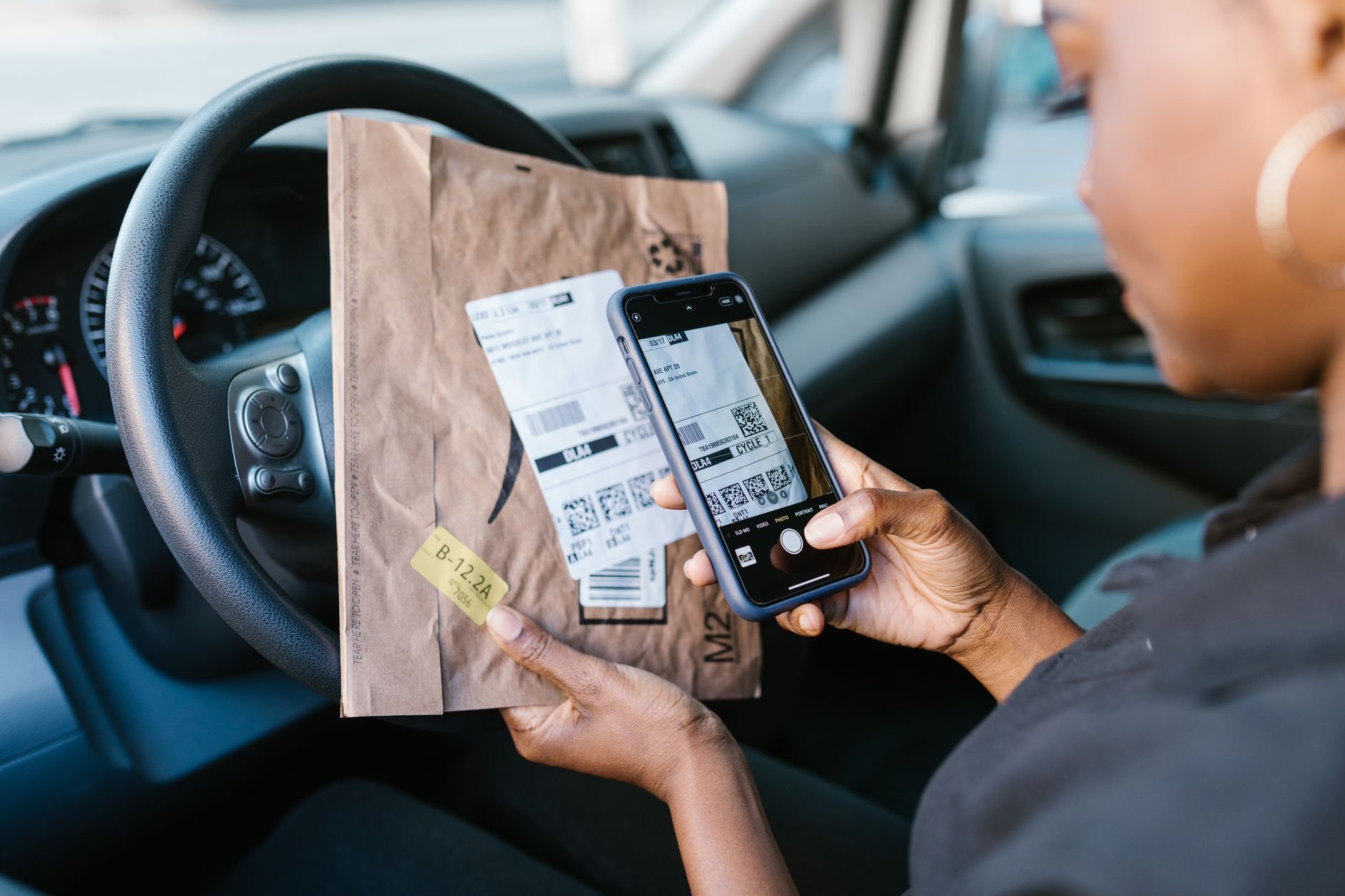
Close-up of a courier scanning a package label with a smartphone camera.
Multi-photo scan
Scan

Photograph every package. All at once.

Load your delivery van, then shoot photos of every label — all in one session. RouteSnap processes multiple images simultaneously, extracting every destination address with AI precision. No package left behind.

  • Upload 1 to 70+ photos per session
  • Reads handwritten, printed, and sticker labels
  • Processes in seconds, not minutes
Rank

Every stop ranked, nearest first. Always.

Once RouteSnap extracts your addresses, it builds a live distance leaderboard — closest stop at the top, farthest at the bottom. No guesswork. No zigzagging across town. Your optimal delivery sequence, generated in seconds.

  • Distance calculated from your live GPS position
  • Updates as you complete deliveries
  • See address, distance, and package count per stop
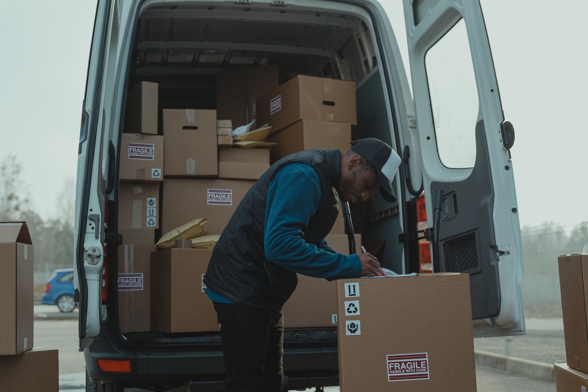
Delivery man sorting packages in van, organizing shipments for distribution.
Distance ranked
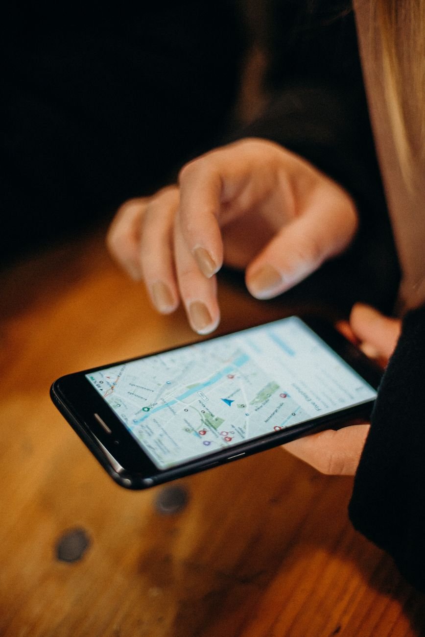
Close-up of a hand using a smartphone displaying a map for navigation.
One tap to navigate
Navigate

Tap any stop. Maps opens immediately.

Every address in your leaderboard is a live navigation link. Tap a stop and your preferred maps app opens with directions set. Zero switching between apps, zero copy-pasting. You deliver — RouteSnap handles the routing.

  • Opens Google Maps, Waze, or Apple Maps
  • Mark stops complete as you deliver
  • Works offline — no constant data connection

Three steps.
Done every morning.

RouteSnap fits into your existing workflow. No training required. No setup. Open the app and go.

Snap your package labels

Open RouteSnap and photograph each package label. Batch-upload your entire load in one go — the app handles blurry shots, angled labels, and mixed label styles.

AI builds your ranked leaderboard

RouteSnap reads every address and sorts all stops from nearest to farthest based on your current GPS location. Your optimized delivery sequence — ready in seconds.

Tap, navigate, deliver

Tap the first stop on your leaderboard. Your maps app opens with turn-by-turn directions. Deliver, mark complete, tap the next. Keep going until every package is done.

Try RouteSnap Free

No credit card. No commitment. Start today.

Simple pricing.
No surprises.

Start free. Upgrade when you want more. No contracts, no upsells, no hidden fees.

Free

$0 / month

Perfect for trying RouteSnap. No credit card required.

  • Up to 10 packages per session
  • AI address extraction
  • Distance leaderboard
  • One-tap maps navigation
Get Started Free
Most Popular

Pro

$9 / month

For couriers doing 20+ stops every day. Unlimited everything.

  • Unlimited packages per session
  • Priority AI processing (2x faster)
  • Delivery history and run summaries
  • Works with Google Maps, Waze, Apple Maps
  • Priority support via chat
Start My Free Trial

14-day free trial. Cancel anytime.

Questions couriers ask

Straight answers. No marketing speak.

How does RouteSnap read package addresses?
RouteSnap uses computer vision AI trained on package labels, shipping stickers, handwritten notes, and printed addresses. You photograph the label — the AI parses the destination address and adds it to your leaderboard. No typing, no scanning QR codes.
What label types does it work with?
Printed shipping labels, handwritten labels, adhesive stickers, and thermal print labels. If a human can read it, RouteSnap can too. The app also handles slightly blurry or angled photos — just try to get the address clearly in frame.
Do I need an internet connection to use it?
Address extraction requires an internet connection (AI runs in the cloud). Once your leaderboard is built, you can view your stops offline. Navigation opens your phone's maps app — that works with your phone's built-in offline maps.
Which maps apps does RouteSnap open?
Google Maps, Waze, and Apple Maps. When you tap a stop in your leaderboard, RouteSnap opens your preferred app with the destination already set — turn-by-turn directions launch immediately.
Can I use RouteSnap if I deliver for multiple platforms?
Yes. RouteSnap works independently of any courier platform — Grab, Lalamove, J&T, GoSend, or any marketplace you deliver for. It only cares about the physical label on the package. One app for all your delivery jobs.
Is there a free plan?
Yes. The free plan supports up to 10 packages per session with full AI extraction and leaderboard features. Pro removes that limit and adds priority processing, delivery history, and chat support. No credit card required for the free plan.

Stop typing addresses.
Start delivering faster.

Join thousands of couriers saving an hour every shift. Snap your packages. Get your route. Go.

Get Early Access

Free plan available. No credit card needed.

Private by default
Works on Android and iOS
4.9/5 from early users